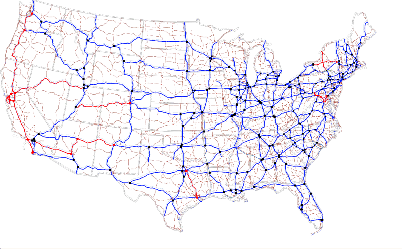
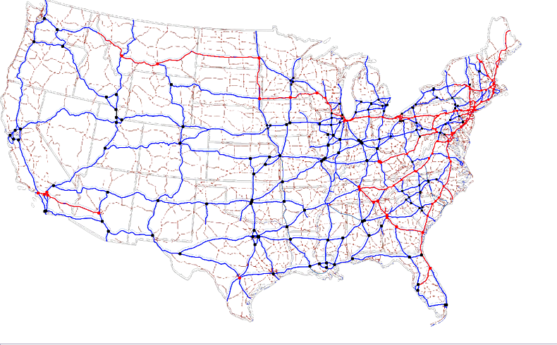
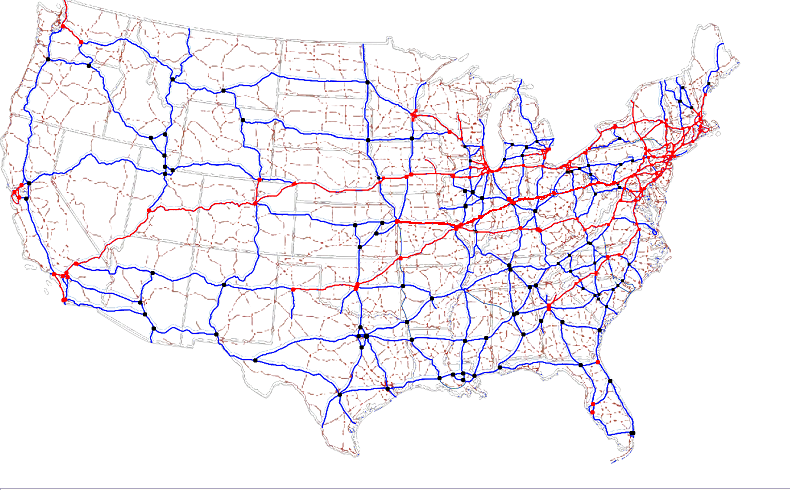
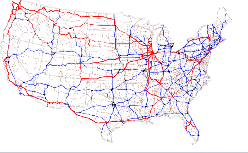
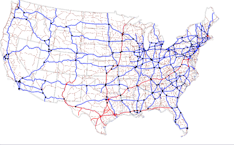
I believe I've created this map (500k whoooa!) such that US freeways and major cities can be bucket-filled without danger. Then shrink to 800px wide and post it to amuse others.
Faint background lines are major US highways (reddish) and state boundaries (grayish).
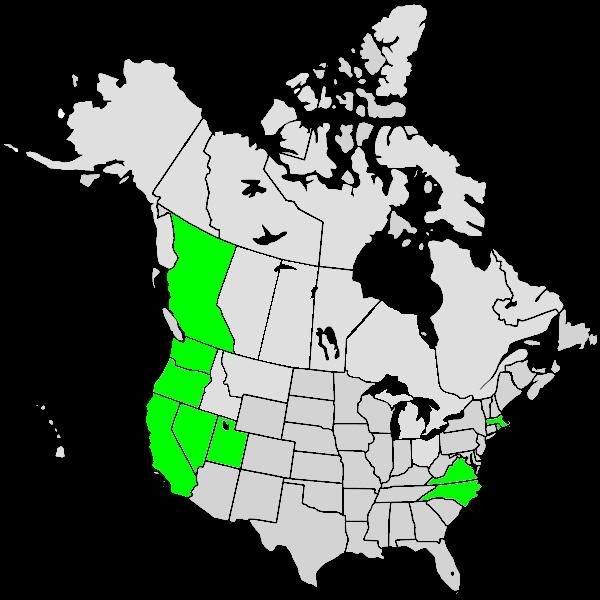
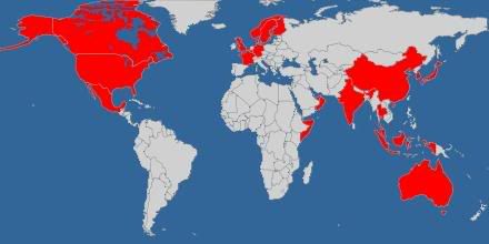
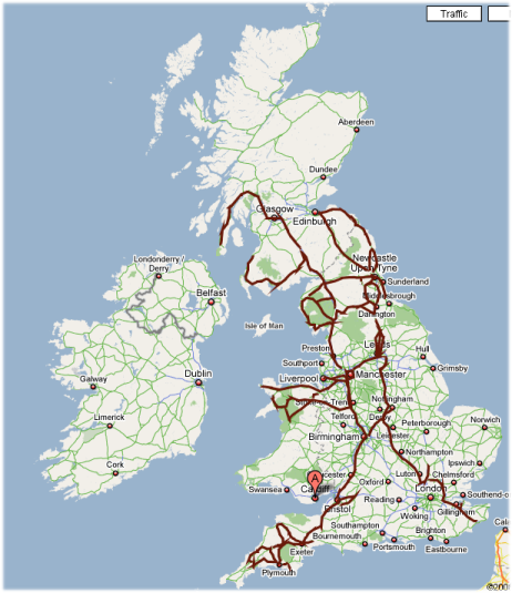
Sorry foreigners, I didn't feel like screwing around with a million and nine maps.
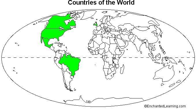
Anyway, here's mine. I'd love to see more.


 PRFYNAFBTFCP


