Re: Holiday Project
Posted: 2010-01-24 04:01pm
This is awesome.
Get your fill of sci-fi, science, and mockery of stupid ideas
http://bbs.stardestroyer.net/
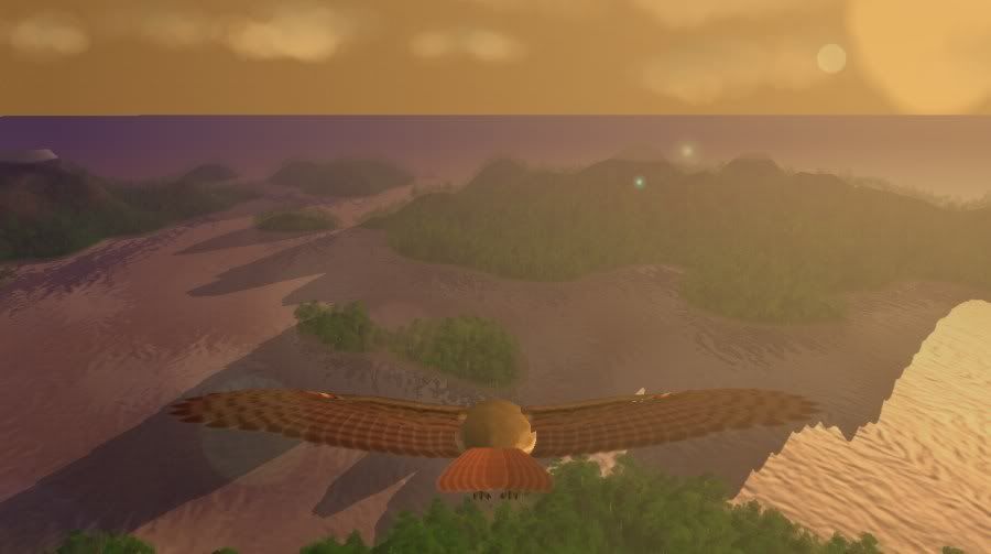
Is there logic behind thermal placement? Are they just arbitrarily placed or are they generated according to environment, fluid mechanics etc?Starglider wrote:Fixed the lighting (mostly), implemented an improved vegetation system with bushes and rough grass, and put in visible thermals (Pilotwings 64 style) for the soaring challenges;
Currently they are manually placed, roughly based on my sketchy knowledge of competition gliding. I may do procedural generation of thermals later, but frankly since there will only be four islands, it's probably easier to just tune the pattern by hand (for optimal gameplay in the 'soaring challenge' levels - this is the kind of gameplay I am after).Steel wrote:Is there logic behind thermal placement? Are they just arbitrarily placed or are they generated according to environment, fluid mechanics etc?
To be honest, I think that's asking too much of a normal gamer. I tell you what, if there is good feedback on the soaring challenges after I've released, I will look at putting in a more realistic gliding experience. I'm not going to make it a primary goal because the really keen people probably already own serious gliding sims, and would sneer at this.Lusankya wrote:If you had areas of lift cued to environmental markers like that, then you could give the soaring challenges a hard mode where the thermals weren't visible.
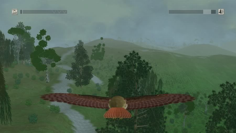
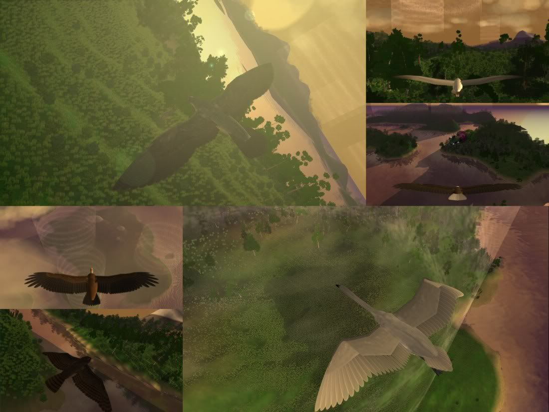
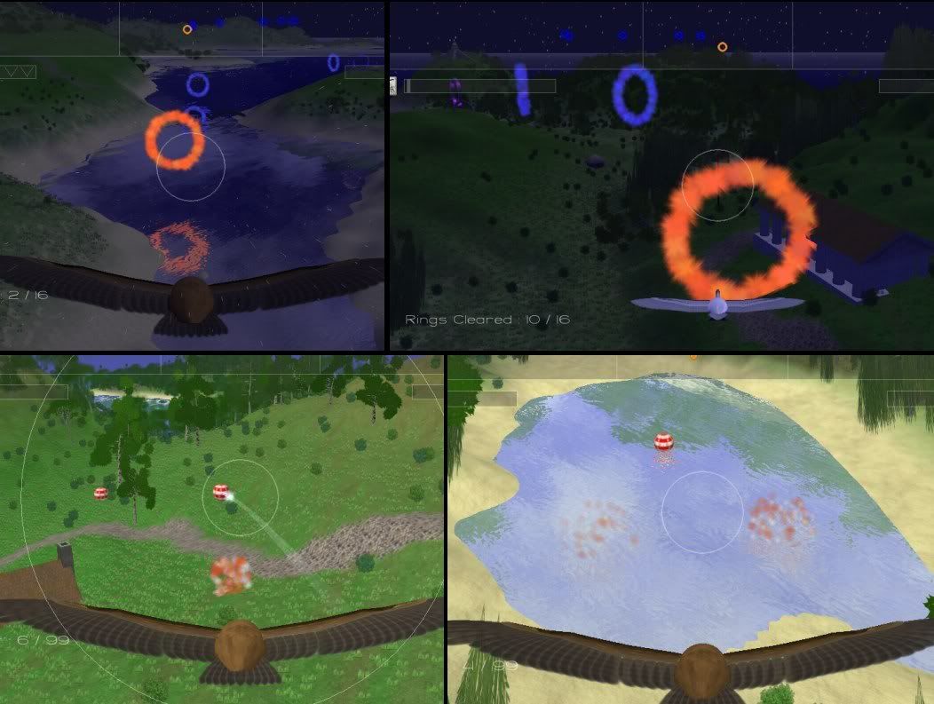
You could also make the birds have a different animation (like twitching the head or wings expanding or something), although I am unsure how realistic that is.Playtester input was that the thermal soaring was too hard because it was difficult to judge whether you were actually climbing or not (since the altimeter is a linear bar up to the max height you can reach). Thus I added a sensitive rate of climb meter, which is what those chevrons on the altitude bar are.
I have significantly improved several aspects of tree rendering since making those videos.Zixinus wrote:Can you change the tree render bit? I find trees popping up randomly a bit jarring while I was looking at the videos.
Unfortunately with XNA you have to use WMA.As for squeezing the music down, can you use ogg format? I heard that its good for this sort of stuff.
The animation is procedural, so you can definitely see the effect on the wings and feathers (particularly in realistic mode), but novice players are not looking for that and wouldn't know how to interpret it anyway.You could also make the birds have a different animation (like twitching the head or wings expanding or something), although I am unsure how realistic that is.
Thanks; playtesters so far have liked it, even though only the 'free flight' mode is working and the landing physics are still broken.Otherwise, awesome stuff.
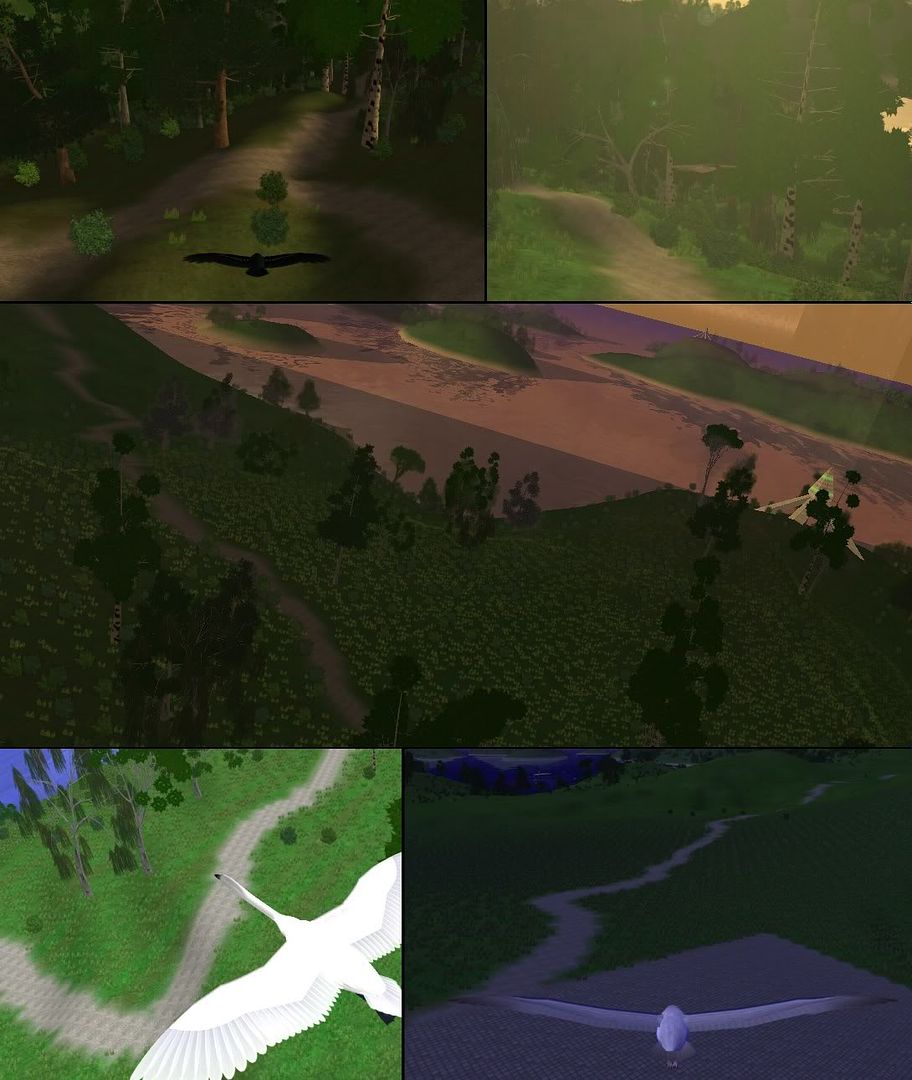
Thanks for the suggestion. Unfortunately I could not get this idea to work in the drawing package I use (Paint Shop Pro 5 - the last time I spent money on a paint program - and Pixelformer for optimisation). In the end I just doubled the resolution of the road texture and changed it to a rougher one with less obvious tiling;Steel wrote:Just looking at the textures on the roads, it looks like theres a bit of repetitive tiling going on there. I think if you do some high pass/low pass filtering on your original texture you're generating everything from then you can really reduce that.
It isn't license free, it's just very cheap to license.Where did you get the license free music from?
Yeah, technically I should have said 'fox one'...JointStrikeFighter wrote:semi active radar bird.
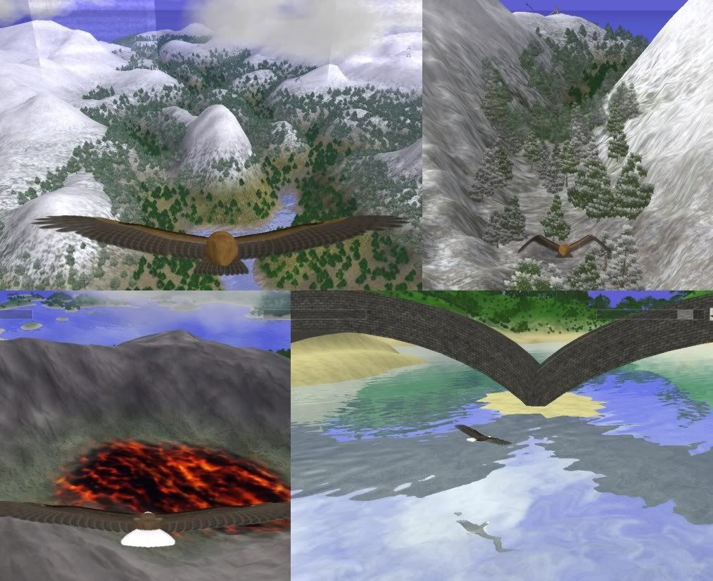
The snowy map is mostly canyons, the swamp map has a couple.salm wrote:Looking good. Level designwise it would probably make sense to create a couple of very narrow canyons the player has to fly through
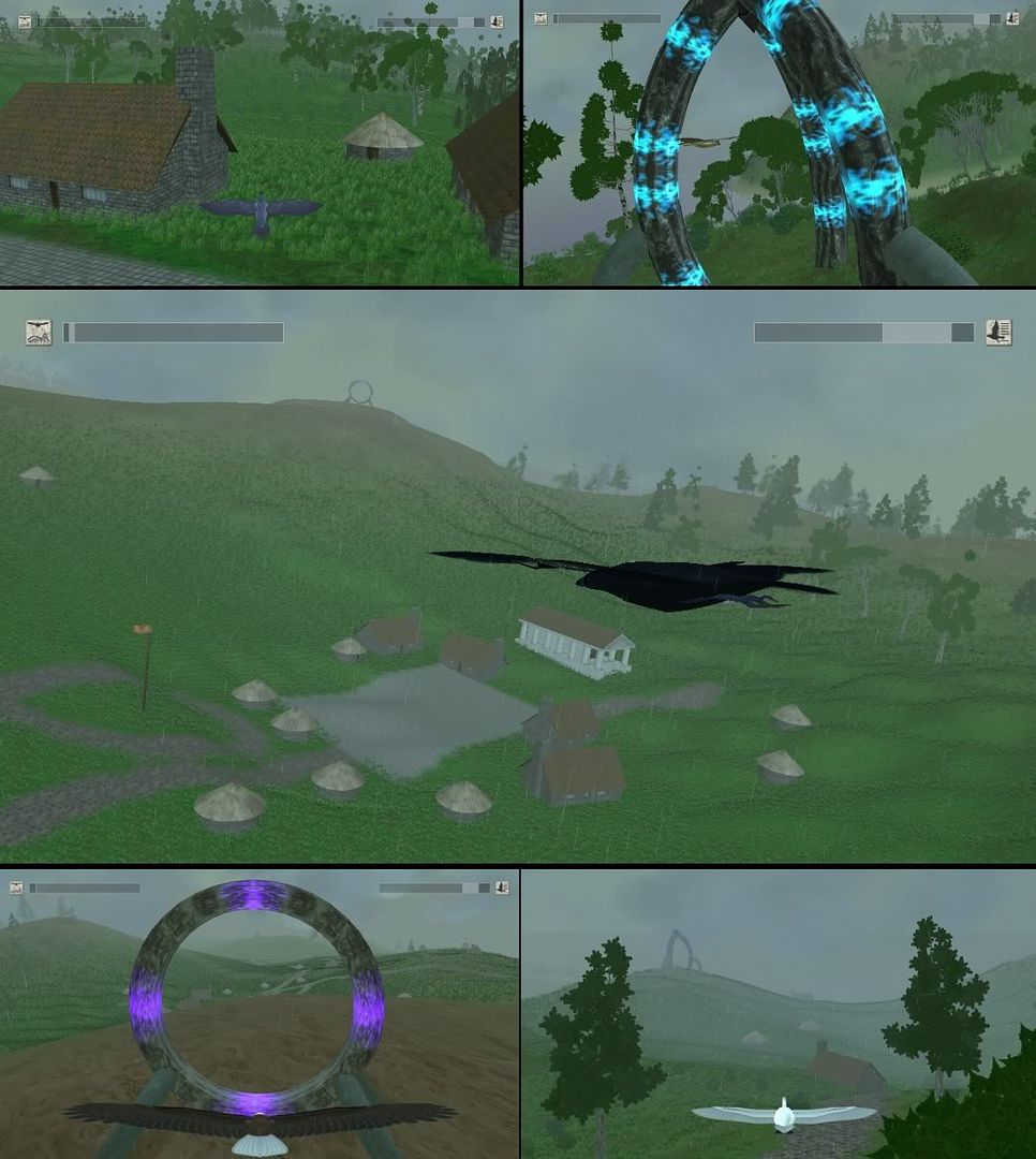
Caves and tunnels are on the todo list, but fairly close to the bottom, the current priority is now the core air-to-air combat.Caves would be awesome, too, but i guess a bit tricky to implement if you´re using grayscale maps to create the terrain.